
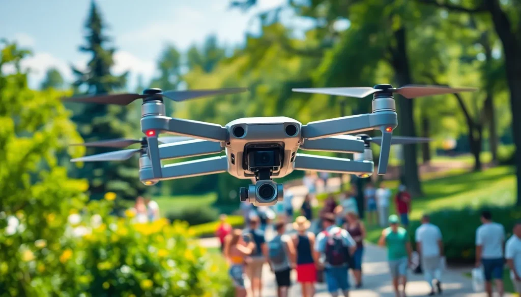
In a world where drones zip around like caffeinated bees, understanding drone spatial awareness is more crucial than ever. Picture this: a drone navigating through a bustling park, dodging trees, people, and the occasional frisbee—now that’s a skill! With rapid advancements in technology, drones are becoming smarter, but they still need a little help to avoid turning into flying lawn ornaments.
Understanding Drone Spatial Awareness
Drone spatial awareness refers to the capability of drones to perceive and understand their surroundings. This ability is crucial for navigating complex environments safely and efficiently.
Definition and Importance
Spatial awareness in drones involves recognizing obstacles and understanding their position relative to the drone. It plays a vital role in preventing collisions. For instance, as drones navigate through parks or urban areas, awareness of trees, people, and other obstacles enhances safety. Improvements in spatial awareness technology help drones execute maneuvers autonomously. Such advancements are essential as drone usage increases, particularly in densely populated areas.
Key Components of Spatial Awareness
Key components include sensors, algorithms, and data processing systems. Sensors like LIDAR and cameras gather information about the environment. Algorithms analyze this data to create a detailed understanding of surroundings. Advanced processing systems then interpret this information in real-time, enabling drones to make informed decisions. Combining these elements enhances overall navigation capabilities. Continuous improvements in these areas contribute significantly to the reliability and safety of drone operations.
Technology Behind Drone Spatial Awareness
Drone spatial awareness relies on advanced technology to navigate environments safely. Key components include sensors and algorithms, which play vital roles in helping drones understand their surroundings.
Sensors and Cameras
Sensors and cameras serve as the eyes of drones, capturing crucial environmental data. Lidar sensors emit laser beams to measure distances, offering high-resolution mapping of obstacles. Cameras provide visual information, enabling drones to identify and track moving objects like people or vehicles. Ultrasonic sensors detect nearby obstacles through sound waves, contributing to safer navigation. Infrared sensors assist in recognizing heat signatures, useful for detecting living beings. Each type of sensor enhances a drone’s situational awareness, leading to improved decision-making capabilities.
Algorithms and Data Processing
Algorithms and data processing form the brain of drone spatial awareness systems. These algorithms interpret data collected from sensors, identifying obstacles and calculating their distances. Through machine learning, drones continuously improve their understanding of complex environments. Real-time data processing allows drones to react swiftly to unexpected changes, minimizing collision risks. Path-planning algorithms determine optimal flight paths while avoiding hazards. Together, these technological advancements enhance overall safety and efficiency, crucial as drone operations expand in urban settings.
Applications of Drone Spatial Awareness
Drones exhibit a wide range of applications that benefit from enhanced spatial awareness capabilities.
Search and Rescue Operations
Search and rescue missions rely heavily on drone spatial awareness to locate missing individuals efficiently. Variable terrain poses significant challenges, making accurate obstacle recognition vital. Drones equipped with Lidar and thermal cameras can detect human heat signatures even in dense forests. Real-time data processing allows quick identification of hazards, ensuring operators make informed decisions. Successful missions often see drones cover large areas faster than traditional methods, responding swiftly to emergency situations.
Agricultural Monitoring
In agriculture, drones facilitate monitoring plant health through spatial awareness technologies. Farmers utilize drones to assess crop conditions and manage resources effectively. High-resolution cameras and multispectral sensors provide insights into crop health, detecting anomalies invisible to the naked eye. Data gathered helps farmers implement timely interventions, maximizing yield and reducing waste. Farmers can optimize irrigation and fertilizer application through precise spatial data analysis, leading to more sustainable farming practices.
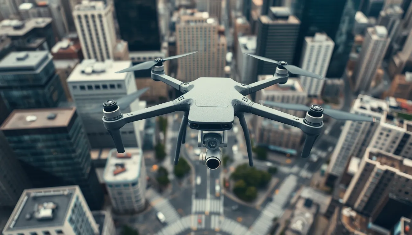
Infrastructure Inspection
Infrastructure inspection has transformed with the integration of drone spatial awareness. Engineers send drones to assess conditions of bridges, power lines, and buildings without risking personnel safety. Equipped with high-resolution cameras and sensors, these drones capture detailed imagery of structural integrity. Analysis allows for early detection of deterioration or faults, facilitating proactive maintenance measures. This approach can significantly decrease inspection times while ensuring comprehensive evaluations are conducted.
Challenges in Drone Spatial Awareness
Drones face numerous challenges that can hinder their spatial awareness capabilities. Environmental factors such as weather conditions can significantly impact performance. Rain and fog reduce visibility, while wind can complicate navigation. Obstacles in complex terrains, including trees and buildings, further challenge a drone’s ability to accurately assess its surroundings.
Regulatory constraints also pose hurdles for drone operators. Compliance with local laws often restricts flight areas, limiting operational flexibility. Specific airspace regulations require drones to maintain certain altitudes and distances from populated areas. These regulations can affect how drones gather spatial data, particularly in urban settings.
Technological limitations continue to challenge drone spatial awareness. Sensor accuracy varies, with some systems experiencing difficulties in distinguishing between similar objects. Processing speeds impact a drone’s ability to respond to rapidly changing environments. Additionally, reliance on GPS can be problematic in areas with poor satellite signals, affecting navigation performance. Continuous advancements are necessary to address these issues and enhance overall operational safety.
Drone spatial awareness is essential for safe and efficient operation in complex environments. As technology continues to evolve, the integration of advanced sensors and algorithms will further enhance drones’ ability to navigate obstacles and adapt to changing conditions.
With growing applications in various fields, the importance of robust spatial awareness cannot be overstated. Ongoing improvements will not only bolster safety but also expand the potential uses of drones, making them invaluable tools in sectors like agriculture, search and rescue, and infrastructure management.
Addressing the challenges posed by environmental factors and regulatory constraints will be crucial for the future of drone operations. As the industry progresses, it’s clear that enhancing spatial awareness will play a pivotal role in shaping the next generation of drone technology.